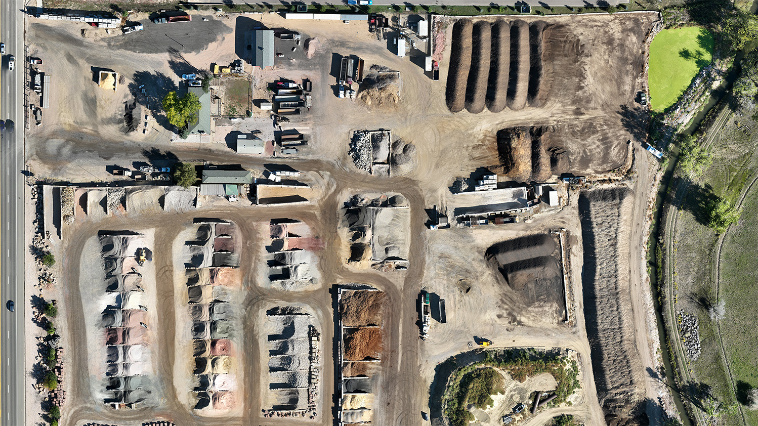
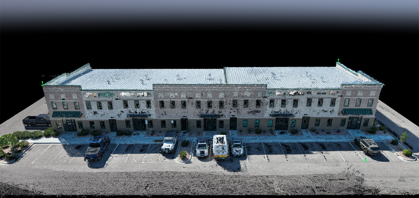
At Precision DroneWorks, we excel in the art of drone mapping and 3D modeling. Our state-of-the-art drones and software ensure the highest level of precision in data collection and processing. From orthomosaic photographs to 3D modeling, our services empower industries like construction, land development, and environmental assessment. Count on us to transform aerial imagery into actionable insights that drive informed decisions and maximize your project’s efficiency.
To view our drone services in action, visit our YouTube page.